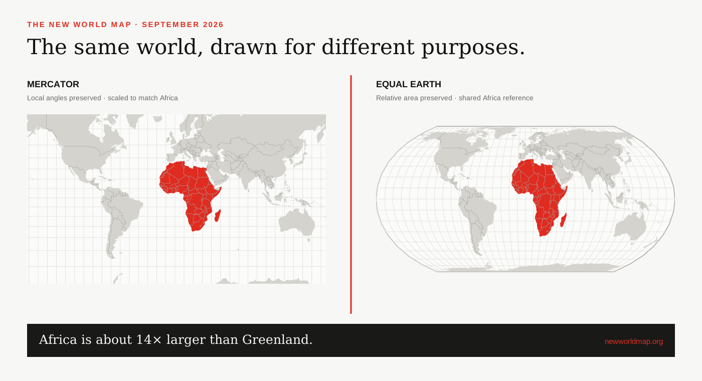
Mercator and Equal Earth, linked
Both maps share a geographic centre and zoom factor. Screen footprint measures projected display area; the separately labelled geodesic estimate measures the area enclosed by the displayed boundary on a spherical Earth.
The true size of Africa
Africa covers about 30.37 million km², roughly fourteen times Greenland’s 2.17 million km². Equal Earth makes that relative area visible, while Mercator enlarges high-latitude regions.
Frequently asked questions
What is the new world map?
It is a popular name for renewed use of equal-area world maps such as Equal Earth, not a change to geography or borders.
Did the UN ban Mercator?
No. The September 2026 General Assembly resolution encourages equal-area maps when relative size matters; it does not prohibit Mercator.
Why does Africa look bigger?
Equal Earth keeps area proportional. Mercator enlarges high-latitude regions, making equatorial Africa look smaller by comparison.
Is Equal Earth accurate in every way?
No flat world map is. Equal Earth preserves relative area but still distorts some shape, distance and direction.